On January 26, 2026, The Town of the Blue Mountains Council voted to launch a comprehensive flooding assessment for the Craigleith Lowlands, following a deputation by the Blue Mountain Watershed Trust (BMWT) warning that new development could significantly increase flood risks for residents and property owners.
In his deputation, BMWT President Carl Michener urged Council to take immediate action to better understand flood impacts in the lands between Grey Road 19 and Grey Road 21, north of Monterra Road. His request called for the Town to initiate a Class C Environmental Assessment, including two-dimensional hydrological modelling, to accurately assess how runoff from proposed and pending developments could affect surrounding communities.
Council voted positively to approve the requests and directed staff to prepare a detailed study.
“This is a significant step forward for flood protection and environmental stewardship,” said Michener. “By committing to a full environmental assessment before approving further development, Council is choosing evidence-based planning and public safety.”
The approved motion also directs the Town to:
- Ensure flood modelling reflects downstream and adjacent property impacts caused by deflected runoff and
- Pause the use of Pre-Servicing Agreements until the cumulative effects of development in the area are fully understood.
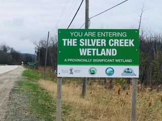
The Craigleith Lowlands have long been identified as a sensitive area within the Blue Mountains watershed, with growing concern that incremental development could exacerbate flooding under increasingly intense weather events.
The Blue Mountain Watershed Trust is a registered not-for-profit organization dedicated to protecting and enhancing the Blue Mountains watershed through direct action, advocacy, and public education. For further information contact: Katherine Holmes, 416-919-6310